
 North-East
The nineteen states of Northern Nigeria
From the Sokoto Caliphate to the Mambilla Plateau and the confluence at Lokoja — a region of 119.2M people across 725,991 km². Choose a state to view its full profile.
Showing 19 states
North-East
 North-East
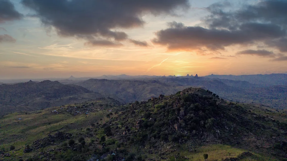
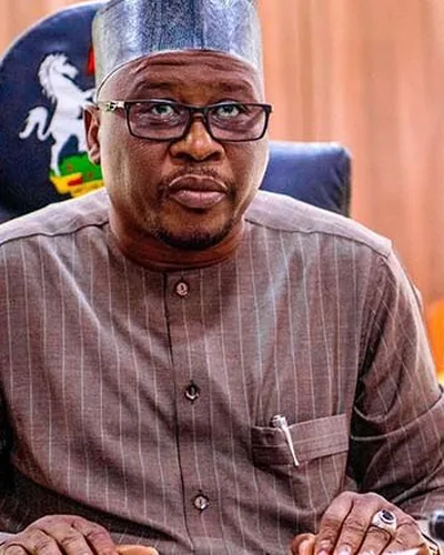
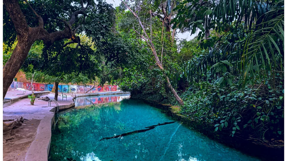
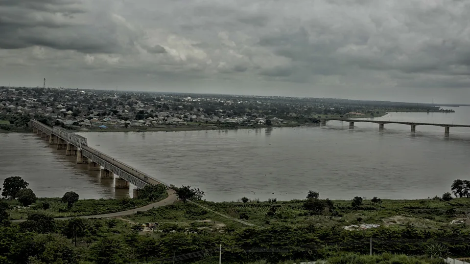
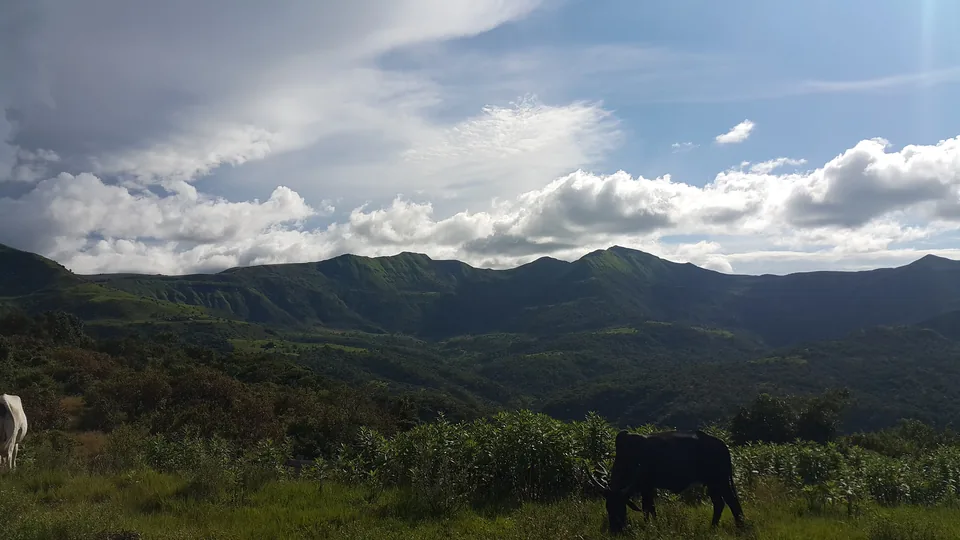
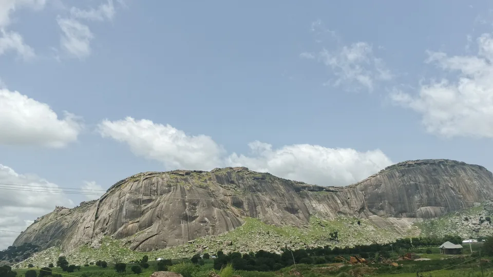
Bauchi State
“Pearl of Tourism”
- Capital
- Bauchi
- Population
- 8.3M
- LGAs
- 20
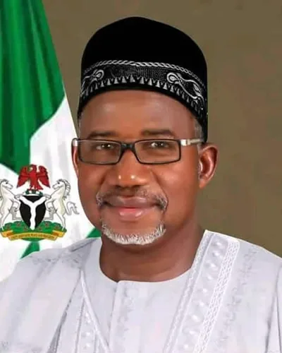
Governor
Bala Abdulkadir Mohammed
 North-Central
Benue State
“Food Basket of the Nation”
- Capital
- Makurdi
- Population
- 6.1M
- LGAs
- 23
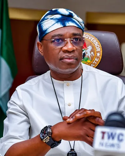
Governor
Hyacinth Iormem Alia
 North-East
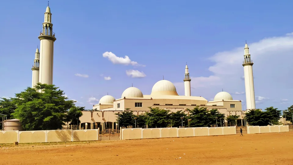 North-East
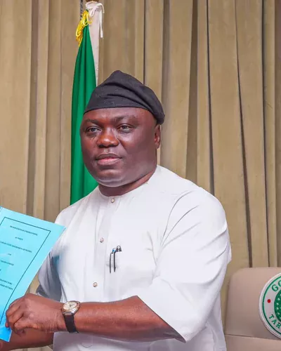
Gombe State
“Jewel in the Savannah”
- Capital
- Gombe
- Population
- 4M
- LGAs
- 11
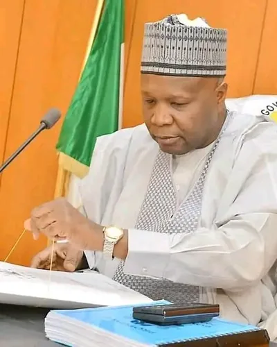
Governor
Muhammadu Inuwa Yahaya
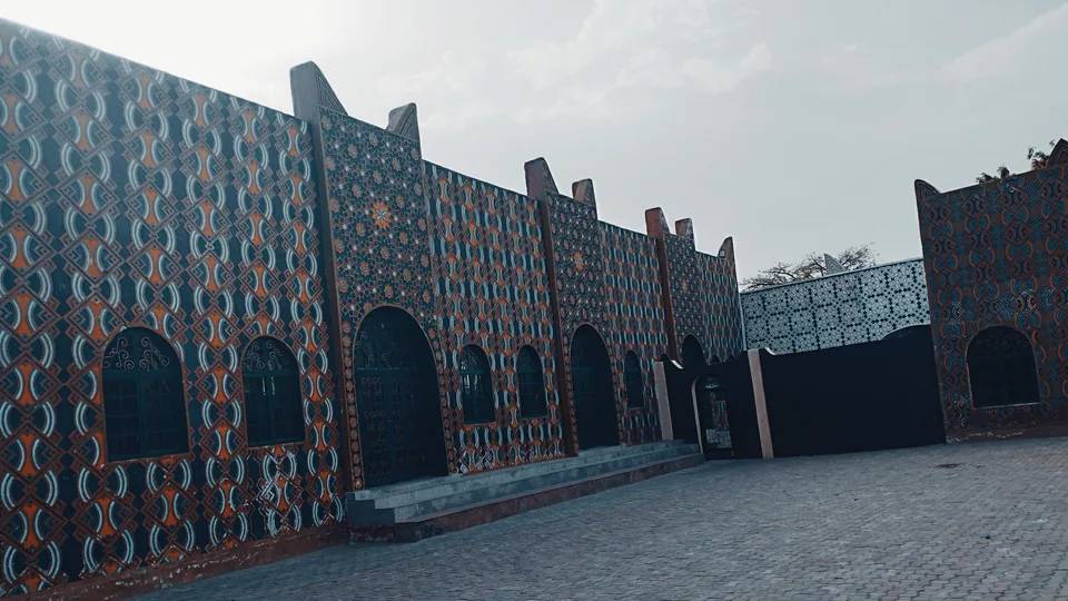 North-West
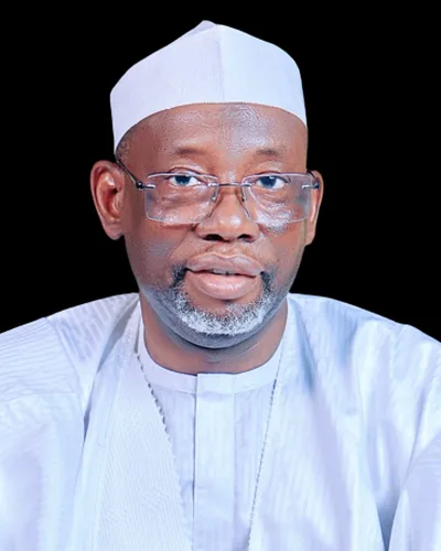
 North-West
 North-West
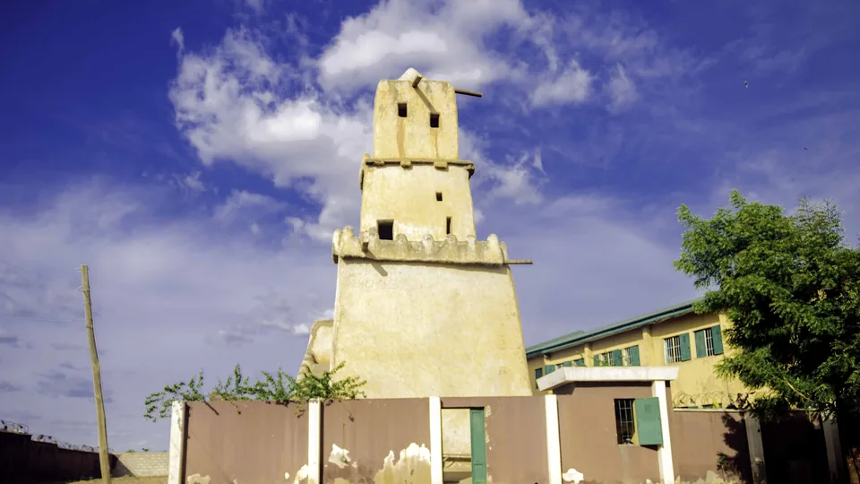 North-West
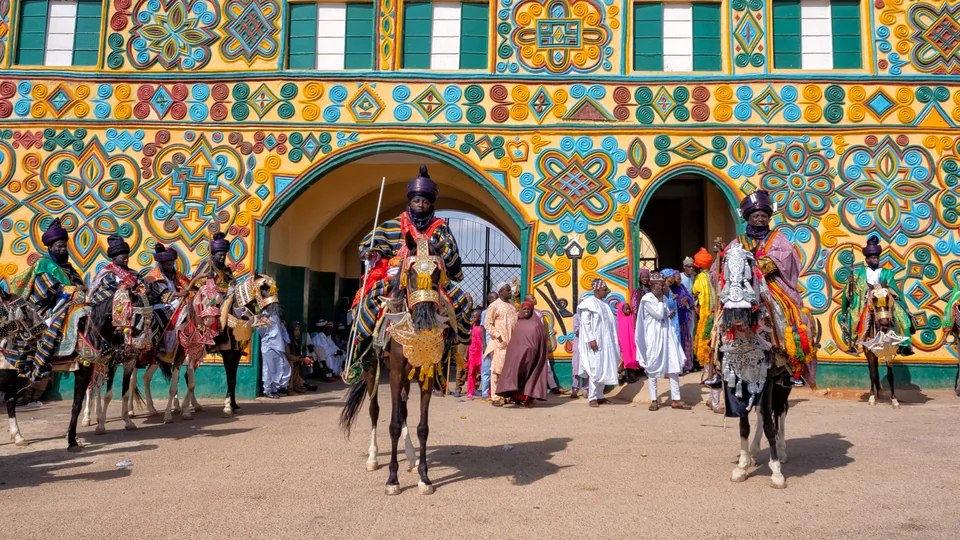
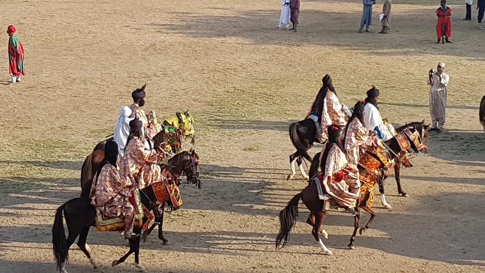
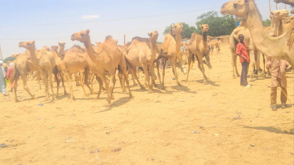
Katsina State
“Home of Hospitality”
- Capital
- Katsina
- Population
- 10.4M
- LGAs
- 34
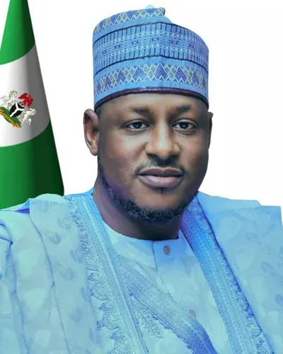
Governor
Dikko Umaru Radda
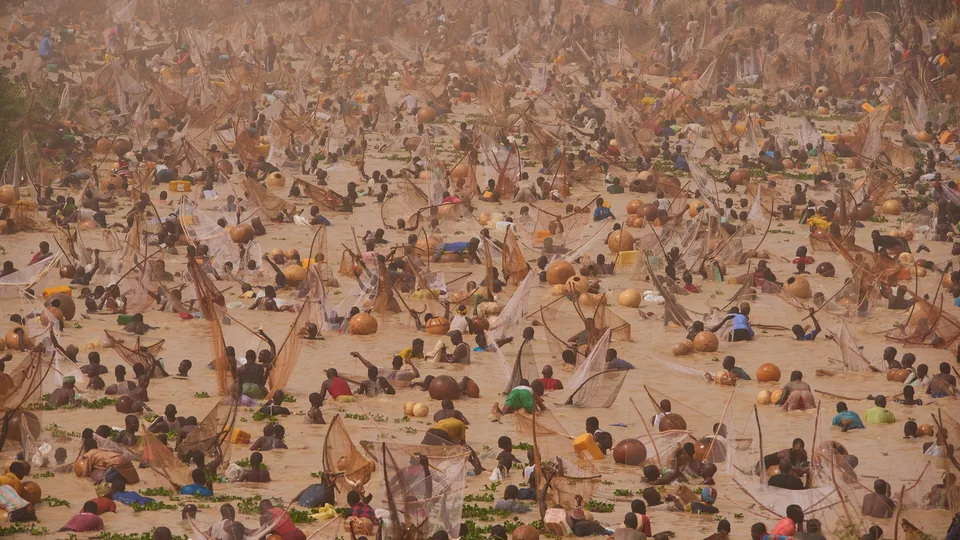 North-West
Kebbi State
“Land of Equity”
- Capital
- Birnin Kebbi
- Population
- 5.6M
- LGAs
- 21
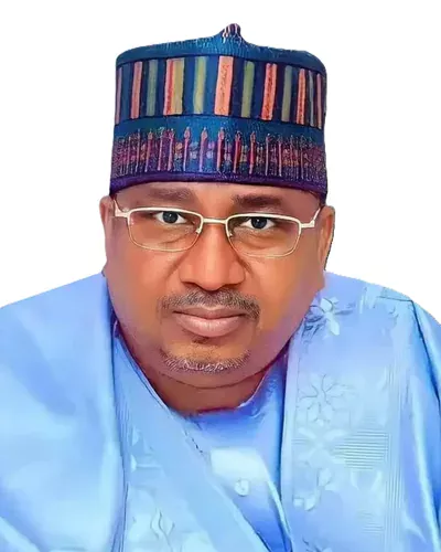
Governor
Mohammed Nasir Idris
 North-Central
 North-Central
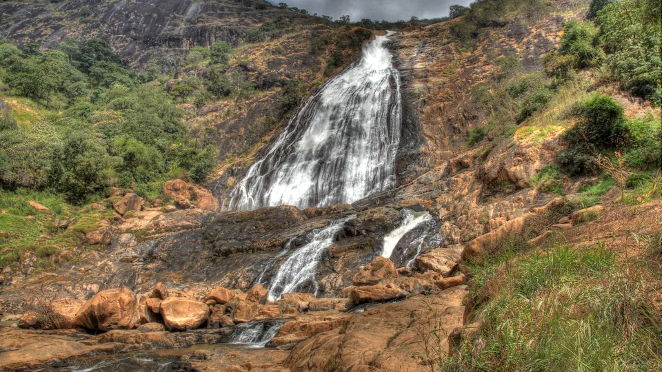 North-Central
Nasarawa State
“Home of Solid Minerals”
- Capital
- Lafia
- Population
- 2.9M
- LGAs
- 13
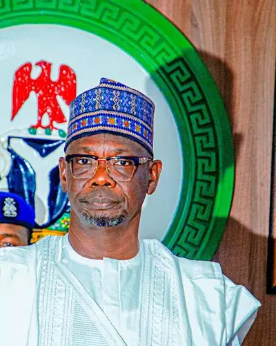
Governor
Abdullahi Audu Sule
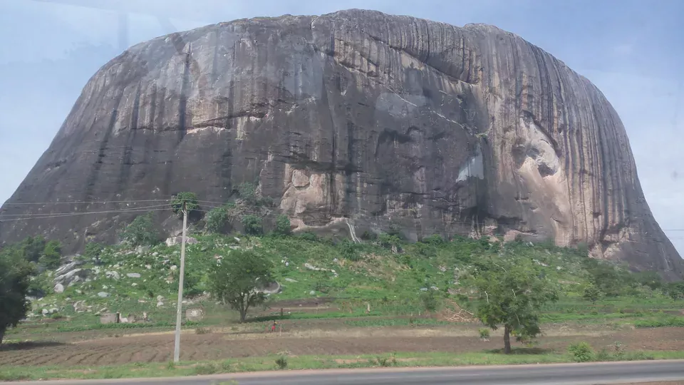 North-Central
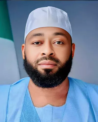
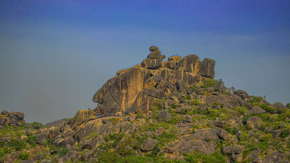 North-Central
Plateau State
“Home of Peace and Tourism”
- Capital
- Jos
- Population
- 4.7M
- LGAs
- 17
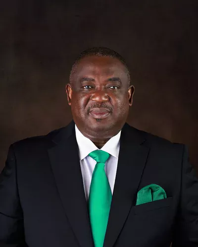
Governor
Caleb Manasseh Mutfwang
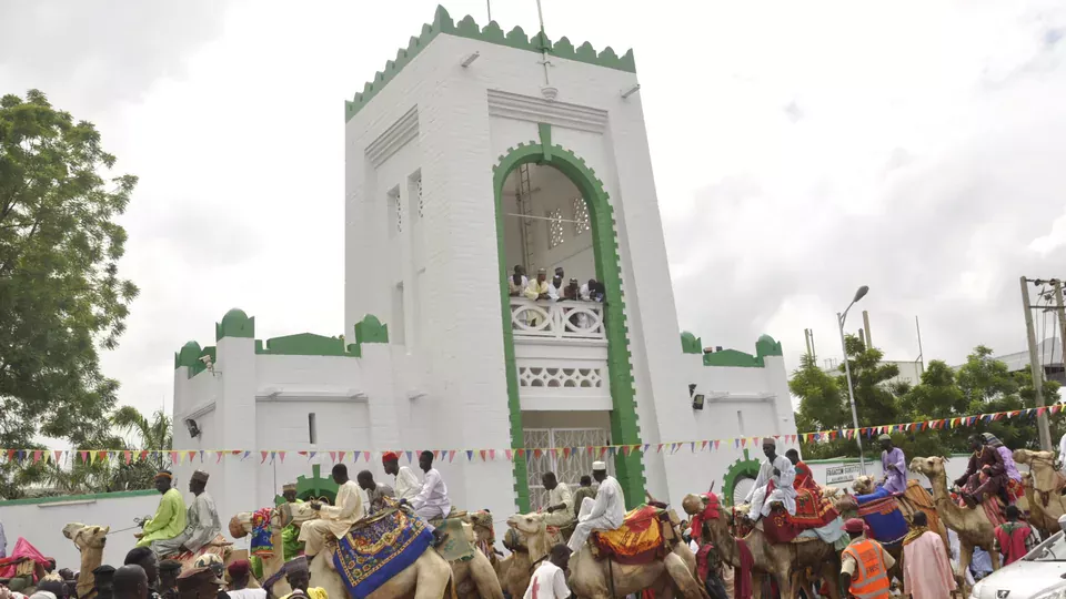 North-West
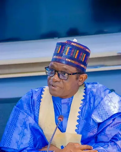
Sokoto State
“Seat of the Caliphate”
- Capital
- Sokoto
- Population
- 6.4M
- LGAs
- 23
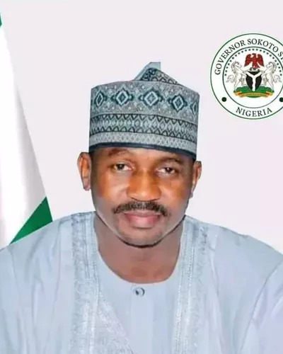
Governor
Ahmad Aliyu Sokoto
 North-East
 North-East
 North-West
No states match your search.
Compare opportunities across the region
Agriculture, solid minerals, energy, livestock and logistics — the Investment Desk brings together sector opportunities from all nineteen states.